Mont Ham was in our “hike to do” list for a while. And finally, we found a perfect time to make it – it was our last, 16th day of the road trip. Just before getting home 🙂 After 5 hours of driving and having 2.5 hours more to drive, we decided to consider this opportunity as a chance to finally make this hike.

Video from this hike
Location
Mont Ham is located in the Appalachian mountains, in our favorite part of Quebec – Eastern Township.
The trail to choose
To access the summit of Mont Ham there are few trails you can choose from. The Intrépide is the most direct but steep way to climb up. While planning to go to this mount, we have done brief research and unfortunately couldn’t find clear information to understand how difficult and steep it is and if we could make it with our 7 y.o. son. The guy in the Visitors Center expressed no worries, just asked how old is he and said: “You can take any trail”. This sounded very reassuring 🙂

On the hike to Mont Ham summit
At the point where the road is splitting between the Intrépide trail, which is difficult, and the Panoramique trail, which is moderate, we chose the first one. And soon we realized that the trail was challenging enough to be named “difficult” 🙂 Besides the steep hike, the Intrépide trail has 3 or 4 scrambling places with the hanging ropes attached to the rocks. This makes such scrambling to be much easier.

The closer you approach the summit of Mont Ham, the better the
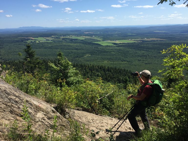
That day the weather was sunny and hot. Some of us underestimated the importance of drinking water and soon the body sent a signal 🙂 After replenishing the body water store we continued our way.

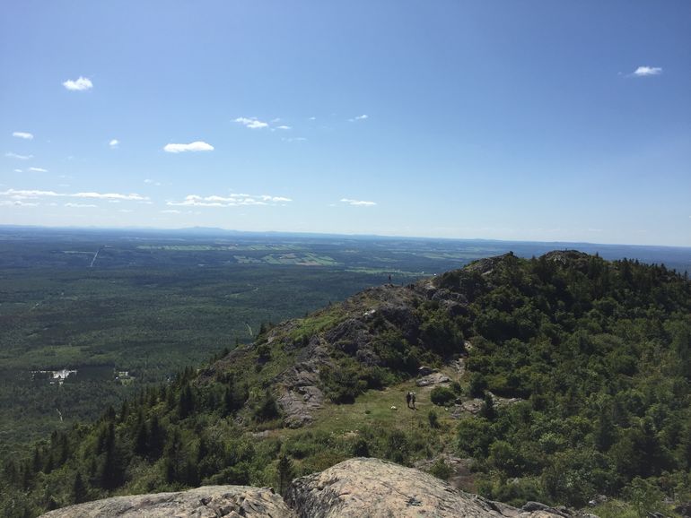
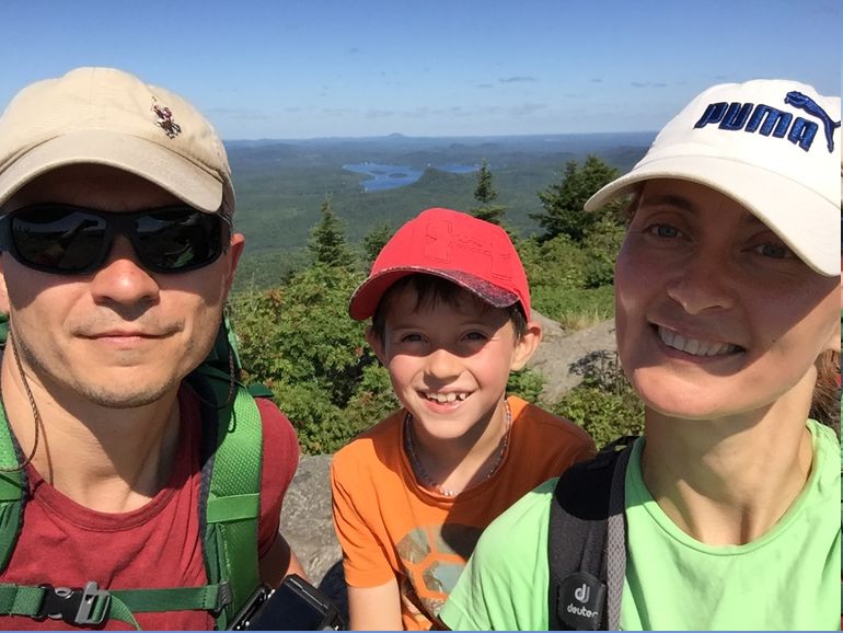
First, we reached a lower summit and after a few meters down, climbed up to the main one, with a big cross on the top. A 360-degree panoramic view from there is really gorgeous and, actually, this is what you are hoping for from the beginning of such a
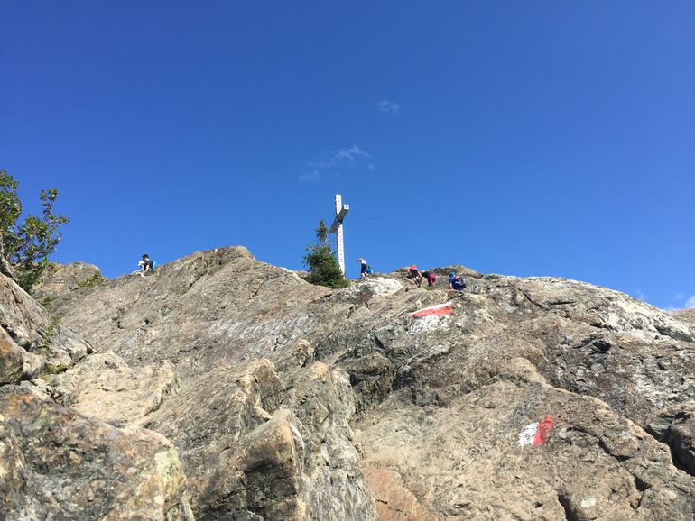
The small and cozy deepening in between of two highest points is a perfect place to set up a tent. In that case, you will be able to enjoy incredible sunrise and sunset on the top! Don’t forget to book it ahead because the places are limited.

To get down we chose another trail – Panoramic, which is a bit longer but less steep. Trekking poles help a lot in such hikes, so we highly
The info center has a good resting area with picnic tables, benches, and playground.
Statistics
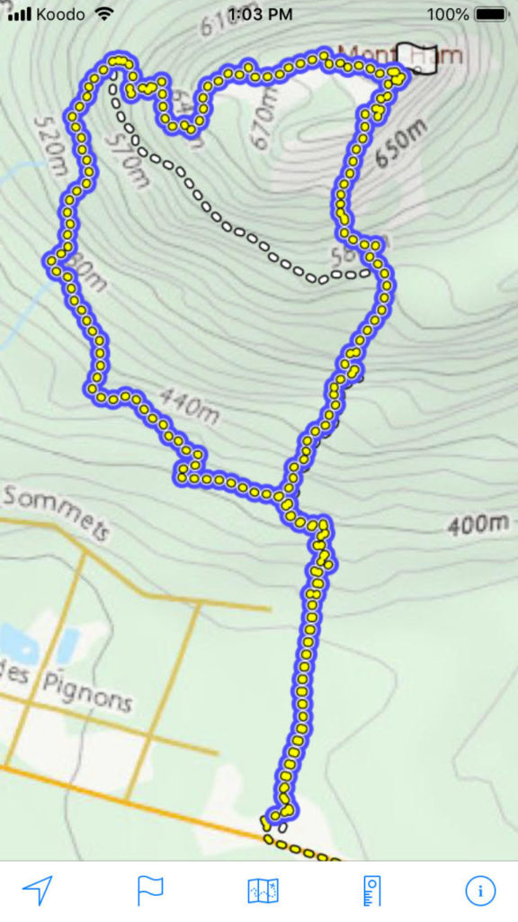
Height: 713 m
Length: 6 km round trip
Elevation: 355 meters
Difficulty: Difficult

Things to remember
- If you would like to camp on the summit, book in advance.
- Be wise when choosing the trail, especially with young kids.
- Have a lot of water.
- Make enough stops.
- Use trekking poles.
- Enjoy!
See you on the trail!
Leave a Reply